Mont-Saint-Michel / Ducey-Les Chéris
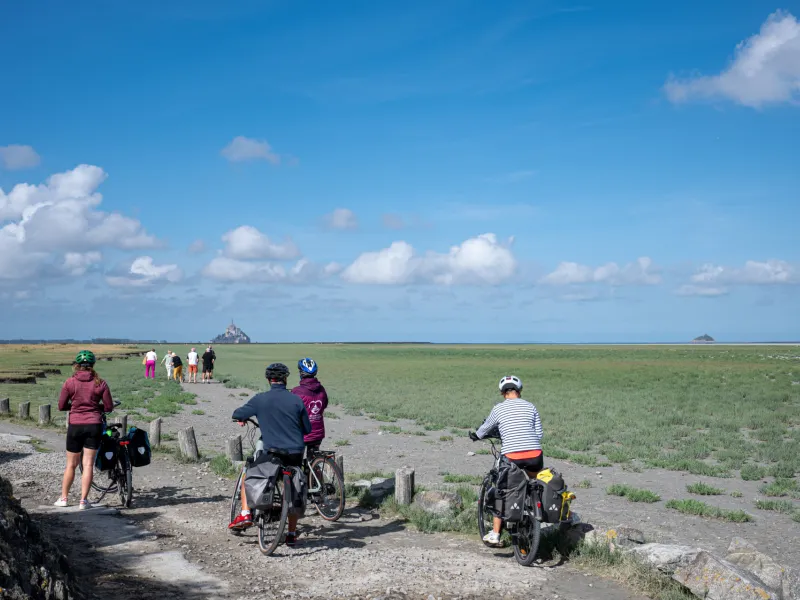
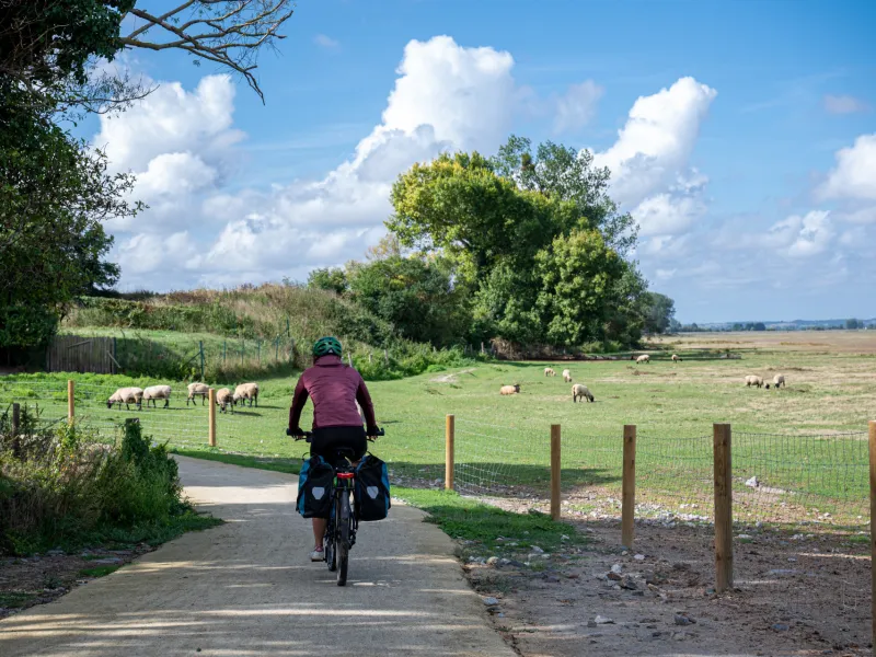
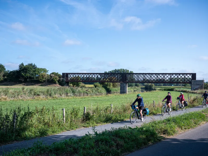
The Vélomaritime route leaves Normandy's Marvel behind, taking you via a greenway through the salt meadows. Make the most of the last glimpses you're afforded across to the Mont Saint-Michel set in its great bay before reaching the Sélune Estuary, your gateway to the traditional bocage normand landscapes, consisting of hedge-divided fields. An other lovely greenway leads you gently to the centre of the well-flowered village of Ducey. The Vélomaritime route leaves La Merveille via
Gradients and elevation
Road types
Surface
The route
🆕 A new, safe route now allows you to reach Ducey-les-Chéris. Two magnificent sections of greenway have been created between La Rive (Pontorson) and Bas-Courtils (Courtils), including a unique cycle path along the bay, in the heart of the salt marshes.
Links
Signposted link towards Avranches train station via minor roads across salt-meadows (12km in length leaving from Pontaubault bridge)
Signposted link to Pontorson / Mont-Saint-Michel station (8,5 km)
SNCF
- Nearby train stations: Pontorson / Mt-St-Michel station: Granville St-Malo line, 2 trains per day on average with service to Le Mont. Avranches station
Access and parking at the Mont-Saint-Michel for bikes
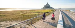
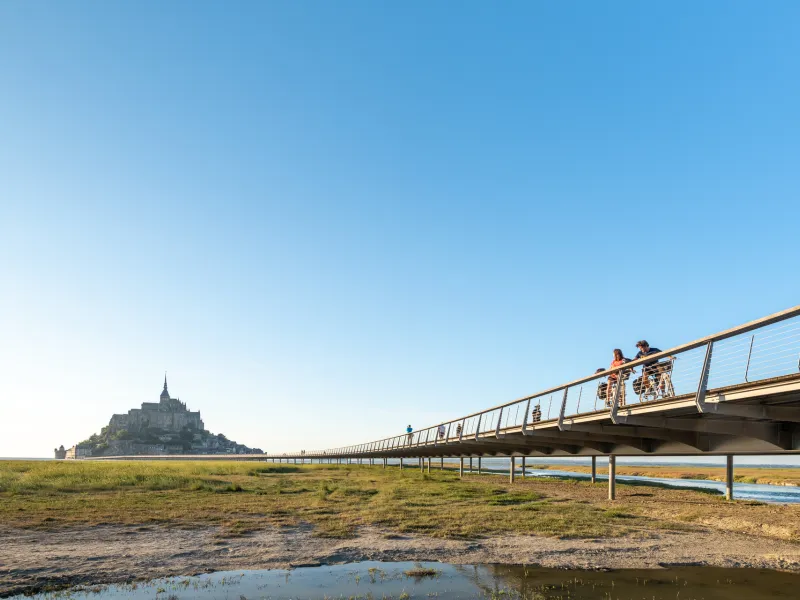
You’re allowed to cycle across the causeway and bridge.
There are 70 bike parking spaces available during the high season in the forecourt of the Fanils fortress at the foot of the mount (left-hand entrance - see the facilities). A parking assistant will be there to help you park your bike. ⚠️ the parking area is not guarded and doesn’t offer a baggage deposit service. The Plan Vigipirate (French anti-terrorist security plan) requires that no baggage be left on bikes.
Alternatively, you can leave your bike in one of the three parking areas further afield, all equipped with bike racks: P9 bike parking area; alongside the greenway near the dam; at Place du Barrage, on the side of the road leading to the mount.