All stages on La Vélomaritime / EuroVelo 4
Ducey-Les Chéris / Saint-Hilaire-du-Harcouët
© Thomas Le Floc'H 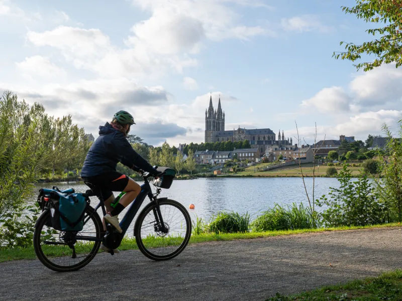
Wikimedia-CEphotoUwe Aranas 
CRTN - Thomas Le Floc'h 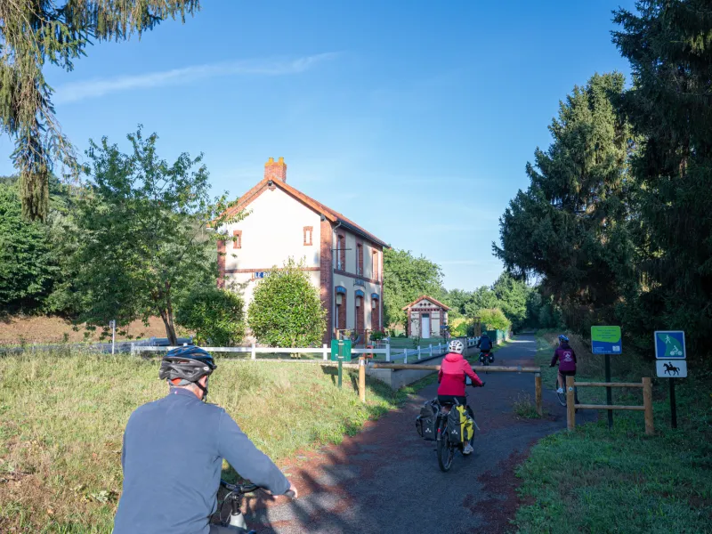
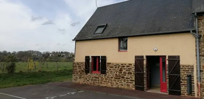
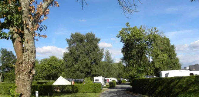
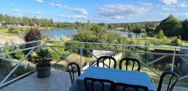
This Vélomaritime stage shares the way with the Véloscénie cycle route, taking you along a former railway track converted into a greenway, leading to St-Hilaire du Harcouët. Founded and fortified by a comrade-in-arms to William the Conqueror, this fortress town strategically placed between the Cotentin Peninsula, Brittany and French Maine (now in the Pays de la Loire Region) offers a variety of activities in summer based around the Plans d'eau du Prieuré, a series of lakes.
Gradients and elevation
Ascents: 95m
Descents: 33m
Lowest point: 10m
Highest point: 116m
Road types
25km (100%) Cycle path
Surface
25km (100%) Smooth
The route
Greenway up to Saint-Hilaire-du-Harcouët, but take care where you have to cross roads.