All stages on La Vélomaritime / EuroVelo 4
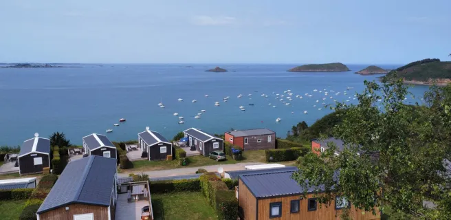
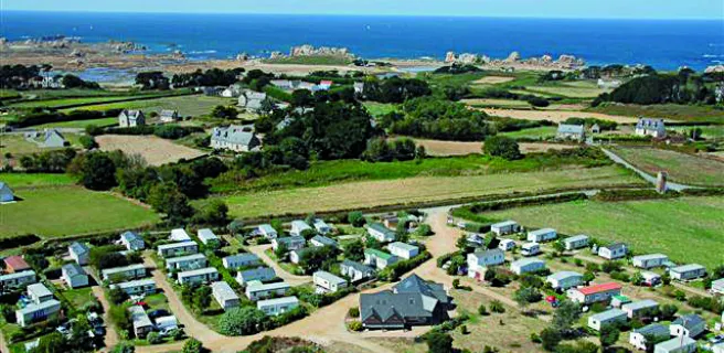
Tréguier / Paimpol
CRTB / A. Lamoureux 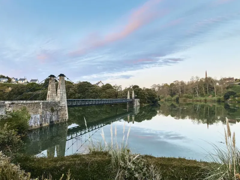
L'Oeil de Paco 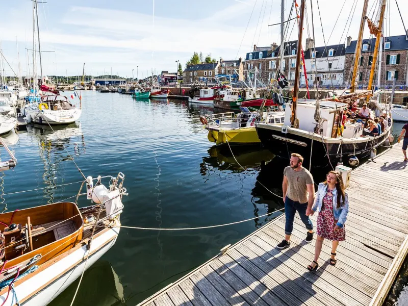
EV4 / Emmanuel Berthier 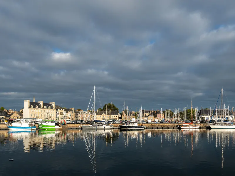
Between Tréguier and Paimpol, the Vélomaritime route straddles two estuaries, that of the Jaudy to the west, that of the Trieux to the east, these two rivers framing the presqu’île, or peninsula, of Lézardrieux. Enjoy the views over these estuaries where fresh water and sea water mingle.
Gradients and elevation
Ascents: 135m
Descents: 131m
Lowest point: 0m
Highest point: 82m
Road types
19km (93%) By road
1km (7%) Cycle path
Surface
19km (93%) Smooth
1km (7%) Unpaved
The route
Mainly along minor roads. Take care: crossing the D33 road south of Pleumeur-Gautier; and crossing the RD786 road north and south of the Pont de Lézardrieux over the Trieux River.
Links
From Paimpol, a 7 km signposted link allows you to reach the Pointe de l'Arcouest, the headland from which boats make the short crossing to the island of Bréhat.
SNCF
Nearby station Paimpol station (TER): Guingamp/Paimpol line