La Vélomaritime / EuroVelo 4
Perros-Guirec / Tréguier
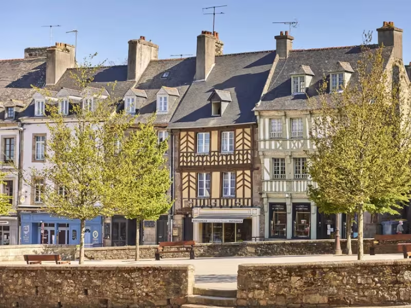
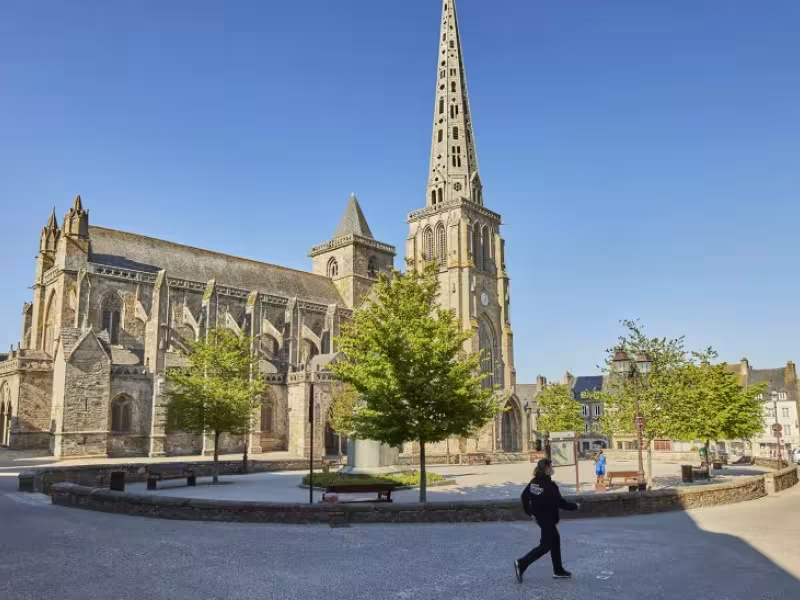
From Perros-Guirec, the Vélomaritime climbs to an agricultural plateau and then heads towards the little city of Tréguier. At the end of this stage, you descend to the Jaudy Estuary, where Tréguier, designated a Petite Cité de Caractère for its cultural riches, is a lovely place to enjoy a well-deserved rest.
Gradients and elevation
Ascents: 163m
Descents: 159m
Lowest point: 2m
Highest point: 100m
Slope breakdown
4km gentle descent (-5% to -1%)
17km flat (-1% to 2%)
2km climb (2% to 5%)
Road types
7km (29%) of cycle paths
16km (71%) of shared roads
- Cycle path
- Routes reserved for cyclists and pedestrians (greenways, cycle tracks, towpaths), separated from cars for maximum safety.
- Shared road
- Quiet minor roads with little traffic (unless otherwise stated in the stage details). Shared with cars (stay alert).
- Not specified
- Data unavailable or being assessed. Please refer to the detailed stage description.
- Provisional
- Section on a road or cycle path awaiting better-quality facilities (see stage details).
Surface
16km (70%) of smooth surface
3km (11%) of rough surface
4km (18%) of natural surface
- Smooth
- Asphalt, tarmac or smooth concrete. Optimal comfort.
- Rough
- Fine gravel, compacted stabilised surface or worn tarmac. Less comfortable, vibrations possible.
- Natural
- Dirt, grass, roots or stones. Under 5%: short sections with little impact. Higher percentage: route suited to mountain or gravel bikes only.
- Not specified
- Data unavailable or being assessed. Please refer to the detailed stage description.
The route
Mainly along minor roads. Take care: with the busy traffic around Perros-Guirec and north of Tréguier; crossing the RD70 road.
Link
From the route a connection allows you to reach the town of Plougrescant (7 km).