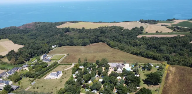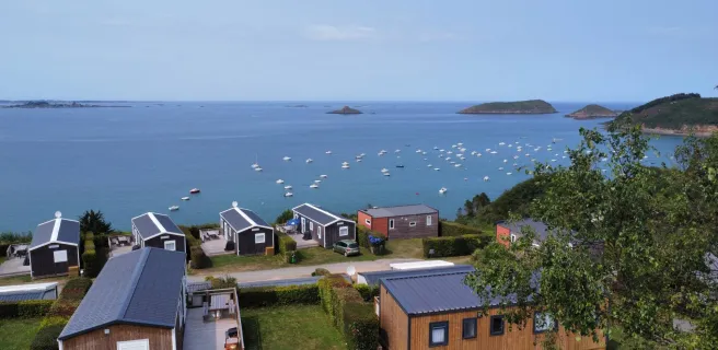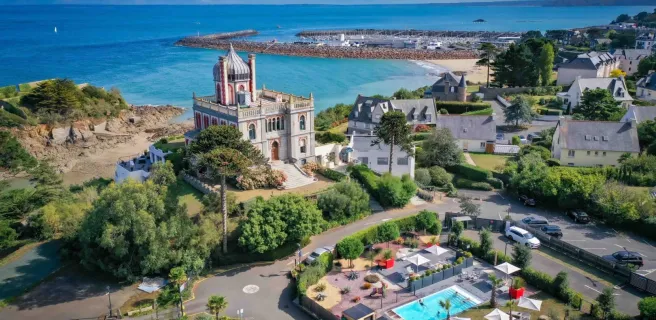
Paimpol / Saint-Quay-Portrieux
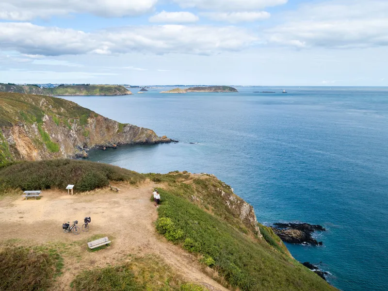
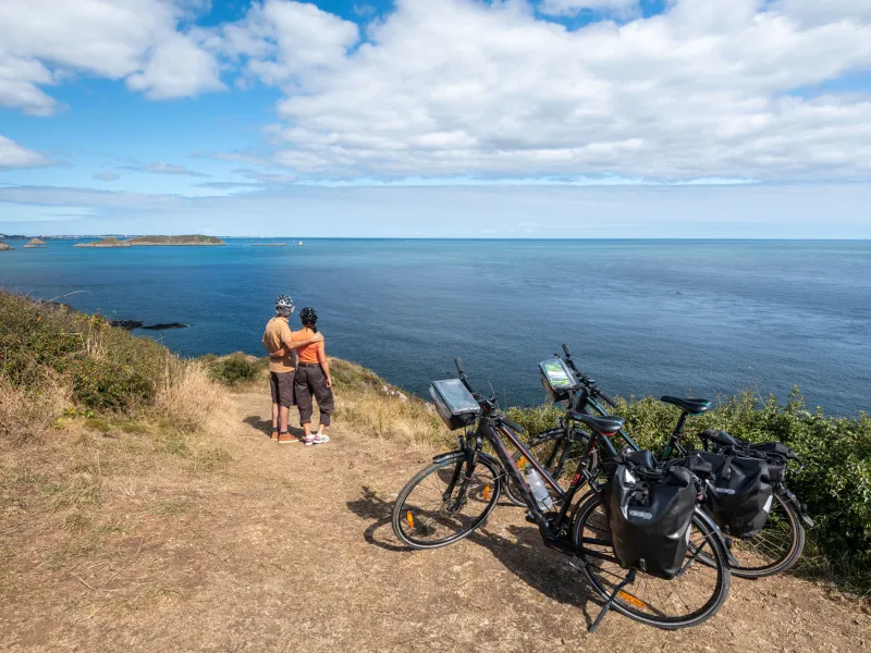

The Vélomaritime route leaves the port of Paimpol. Some may wish to head up to the Pointe de l'Arcouest, from which boats make the short crossing to the island of Bréhat. The main route, though, continues east, along Brittany's highest cliffs, via a mix of wild coastal stretches, rocky capes and sheltered coves. There are significant slopes along the way. The Pointe de Plouha, with its daunting cliffs, is the highest point on this stage, 104m in height. Don't miss the magical atmosphere at Le Palus Beach before reaching the fishing port of Saint-Quay-Portrieux.
Gradients and elevation
Road types
Surface
The route
Mainly along minor country roads. There are significant slopes along this stage.
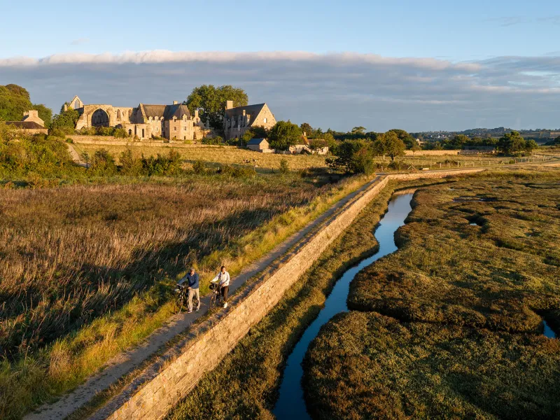
Take care: just after Paimpol, you have to dismount and lead your bike by hand along 800m taking you through the Domaine de Beauport, a listed natural and historical site owned by France's Conservatoire du Littoral, the authority protecting exceptional coastal stretches.
Link
From Paimpol, a 7 km signposted link allows you to reach the Pointe de l'Arcouest, the headland from which boats make the short crossing to the island of Bréhat.
SNCF
- Nearby station Paimpol station (TER): Guingamp/Paimpol line