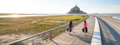
Plestin-les-Grèves / Lannion
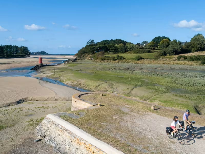
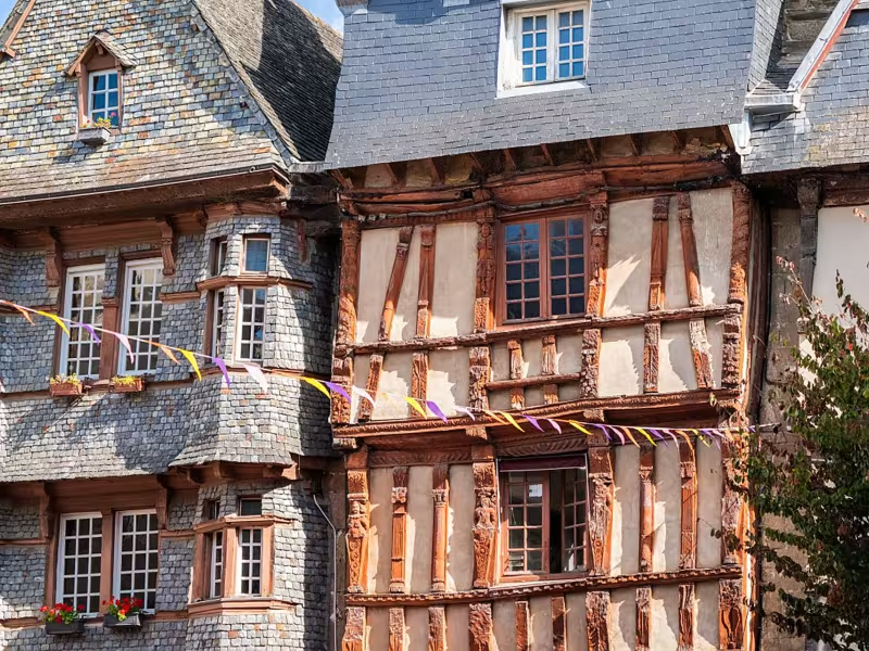
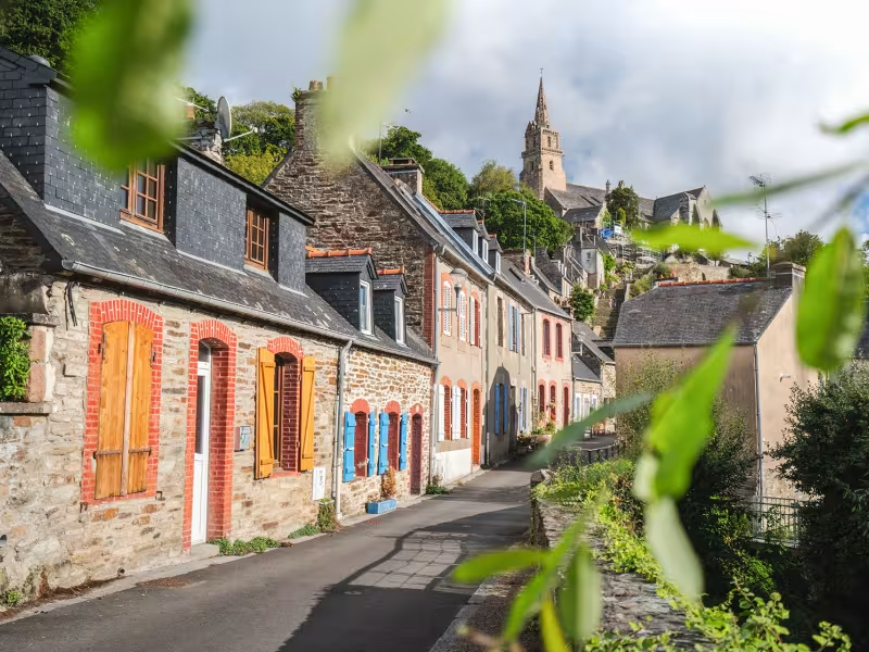
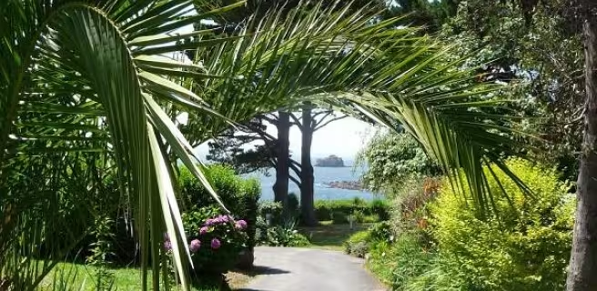
The Vélomaritime heads for Lannion, with a delightful warm-up for you, cycling beside the Bay of Saint-Michel-en-Grève. A greenway leads you gently to Ploumilliau, then you climb away from the coast, heading a bit inland to reach the historic town of Lannion.
Gradients and elevation
Slope breakdown
Road types
- Cycle path
- Routes reserved for cyclists and pedestrians (greenways, cycle tracks, towpaths), separated from cars for maximum safety.
- Shared road
- Quiet minor roads with little traffic (unless otherwise stated in the stage details). Shared with cars (stay alert).
- Not specified
- Data unavailable or being assessed. Please refer to the detailed stage description.
- Provisional
- Section on a road or cycle path awaiting better-quality facilities (see stage details).
Surface
- Smooth
- Asphalt, tarmac or smooth concrete. Optimal comfort.
- Rough
- Fine gravel, compacted stabilised surface or worn tarmac. Less comfortable, vibrations possible.
- Natural
- Dirt, grass, roots or stones. Under 5%: short sections with little impact. Higher percentage: route suited to mountain or gravel bikes only.
- Not specified
- Data unavailable or being assessed. Please refer to the detailed stage description.
The route
Mainly along minor roads, with a stretch of greenway between Plestin-les-Grèves and St-Efflam, plus a long section of coastal greenway from St Michel-en-Grève to Ploumilliau.
There are several extremely steep slopes: at the Quinquis mill, crossing under a railway line; and, south of Lannion, in the hamlet of Keranroux (where cyclists not used to such gradients may need to dismount).
Take care along the RD786 road, which is often busy with lorries at Le Grand Rocher, along St Michel-en-Grève Beach, as well as along the RD11 road south of Lannion, which can be very busy with traffic and only has a cycle lane in place on one side of the road.
SNCF
- Nearby station Lannion station (TGV, TER): Lannion/Morlaix/Brest line Lannion/Guingamp/St-Brieuc/Rennes/Paris