Pleslin-Trigavou / Saint-Malo
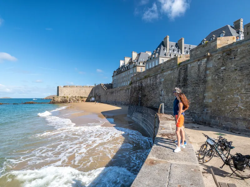

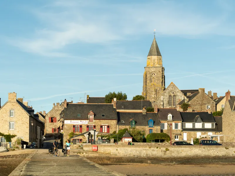

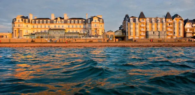
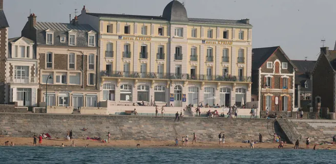
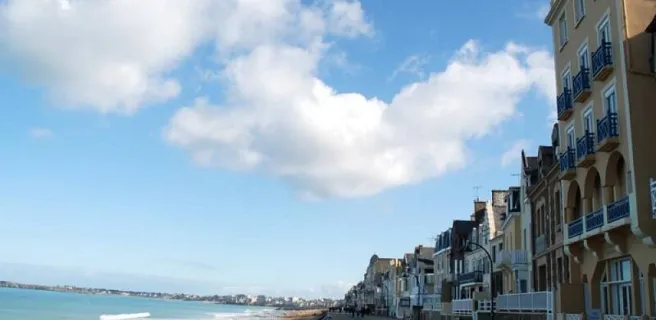
To avoid crossing the dam over the Rance River, the Vélomaritime route takes you along minor roads around the Rance Valley. Midway along the stage, stop at Saint-Suliac, this historic fishermen's village a member of the association Les Plus Beaux Villages de France. Before long, the ramparts around the city of St-Malo come into view. Reaching this place's resort side, the wooden groynes projecting from the beach into the sea help calm the Channel's wilder waves.
Gradients and elevation
Road types
Surface
The route
You leave the Breton county of Côtes d'Armor for that of Ille-et-Vilaine after Plouër-sur-Rance, passing via Saint-Hubert bridge, following signposting for the cycle route. Do take care cycling towards Saint-Malo.
⚠️ Saint-Hubert Bridge over the Rance is currently under construction: cyclists may cross on foot. Temporary closures may occur. Information is updated regularly here.
SNCF
- Nearby station Saint-Malo station: TGV and TER to Rennes, Paris, TER to Dol-de-Bretagne